LiDAR Sensor System
High-precision LiDAR sensors for capturing 3D point cloud data across diverse Indian terrains including urban and rural environments.
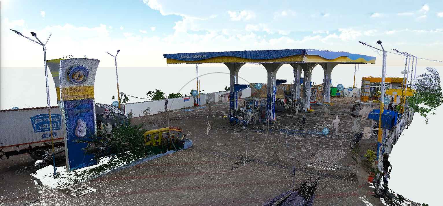
Read moreTwin Earth’s Large Geospatial Model is built on diverse real-world data collected across Indian environments using ground-based sensors, mobile platforms, and overhead sources such as drones and satellites. This data is carefully processed, aligned, and fused to capture the complexity of Indian urban, semi-urban, and rural landscapes—including dense cities, heritage zones, agricultural regions, and infrastructure corridors.
Our model is designed to deliver three core services tailored to Indian scenarios:
Reconstruct
Generate accurate and scalable 3D representations of real-world environments, even in challenging conditions such as unstructured roads, varying illumination, and dense population settings.
Localize
Enable robust and precise localization across diverse Indian terrains, including GPS-denied or low-connectivity areas.
Understand
Extract semantic and contextual insights from geospatial data to support applications like smart cities, infrastructure monitoring, disaster management, and rural planning.
This approach allows Twin Earth to bridge the gap between complex real-world Indian environments and intelligent, scalable geospatial solutions.
Company overviewField capture & outputs
Collect high-quality geospatial data from real-world environments, even in challenging conditions such as unstructured roads, varying lighting, and dense population areas.
Convert collected data into accurate and scalable 3D models of environments for better analysis and mapping.
Visualize the data and extract meaningful insights to support applications like smart cities, infrastructure monitoring, disaster management, and rural planning.
Latest activity
Recent workstreams across reconstruct, localize, and understand—tailored to Indian scenarios.
High-precision LiDAR sensors for capturing 3D point cloud data across diverse Indian terrains including urban and rural environments.
Read moreUAV-based aerial mapping system for large-scale geospatial data collection using high-resolution cameras and sensors.
Read moreLibrary
Guidelines, benchmarks, and taxonomies—curated for teams building on Twin Earth.
Infrastructure
Multi-node cluster with 100+ cores for large-scale simulations.
Open resourcesRecorder
The new H1n is the ultimate take-anywhere recorder for every creators gear bag.
Open resourcesVideo Console
Meta Quest 3S 128GB — Advanced All-in-One Mixed Reality Console - White
Open resourcesWhy Twin Earth
What sets our geospatial stack apart for India-first deployment and long-term partnerships.
FAQ
Detailed answers about Twin Earth’s geospatial model, deployment, and how we work with Indian environments.